Home
Search
Browse Collections
My Account
About
Digital Commons Network™
Skip to main content
University of Oklahoma College of Law Digital Commons
Home
About
FAQ
My Account
Home
>
AIAAND Maps & Illustrations
American Indian and Alaskan Native Documents Maps and Illustrations
Printing is not supported at the primary Gallery Thumbnail page. Please first navigate to a specific Image before printing.
Follow
Switch View to List
View Slideshow
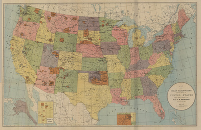
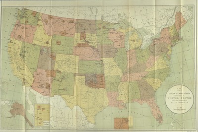
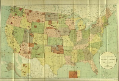
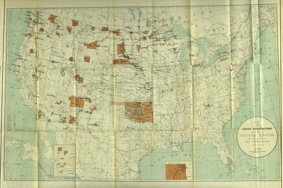
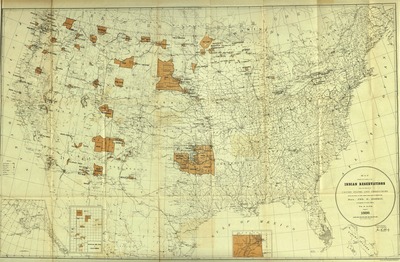
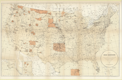
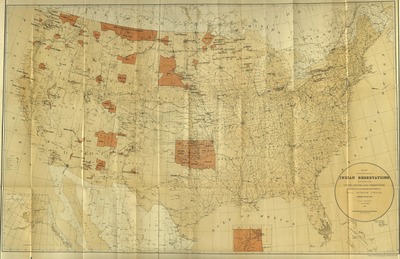
Map Showing the Location of the Indian Reservations within the Limits of the United States and Territories [1887]
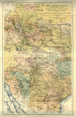
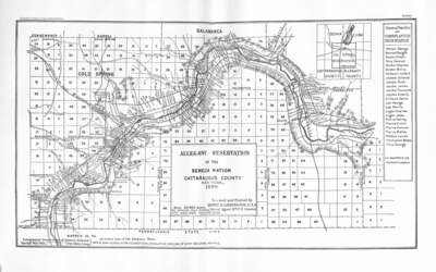
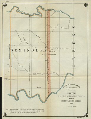
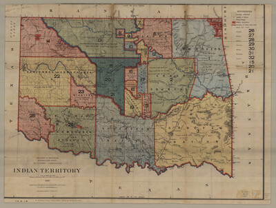
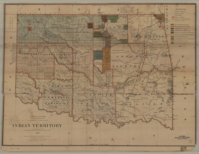
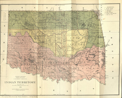
Indian Territory, 1887.
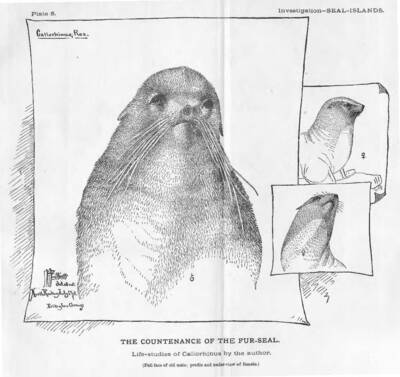
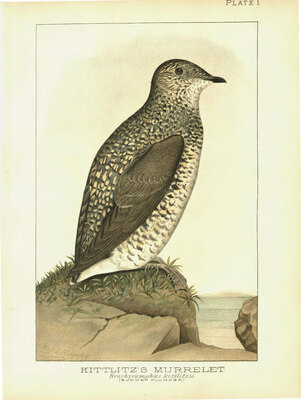
Kittlitz Murrelet : Brachyumphus Kittlitzii (Summer Plumage)
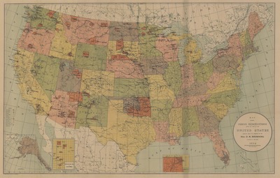
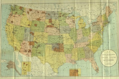
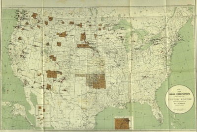
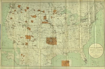
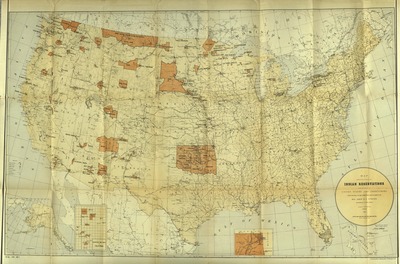
Map Showing the Location of the Indian Reservations within the Limits of the United States and Territories, 1885.
Map Showing the Location of the Indian Reservations within the Limits of the United States and Territories, 1885.
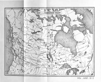
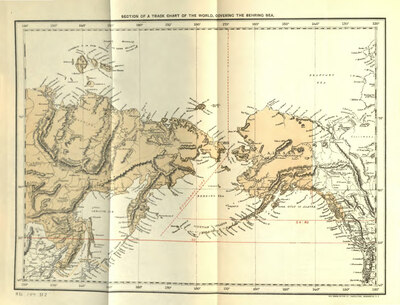
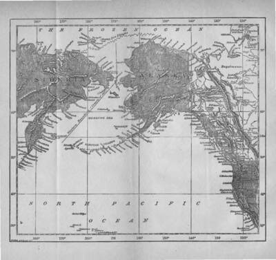
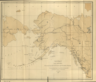
Sketch Map of Alaska, 1885
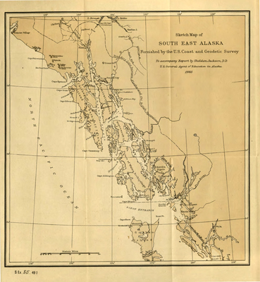
Sketch Map of South East Alaska
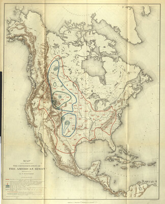
Indian Territory 1883
1
2
3
4
5
6
Browse
Collections
Disciplines
Authors
Search
Enter search terms:
Select context to search:
in this collection
in this repository
across all repositories
Advanced Search
Notify me via email or
RSS
Author Corner
Author FAQ
Gallery Locations
View gallery on map
View gallery in Google Earth

![Map Showing the Location of the Indian Reservations within the Limits of the United States and Territories [1887]](https://digitalcommons.law.ou.edu/maps/1010/thumbnail.jpg "Map Showing the Location of the Indian Reservations within the Limits of the United States and Territories [1887]")

")


