
Preview
Johnson's Bibliographic Reference
1865-36
Creation Date
1865
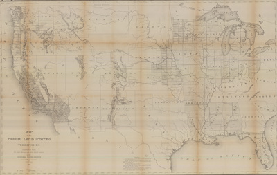
Description
Drawn by J.H. Hawkes, Principal Draughtsman and T. Franks, Assistant
Public lands in the states are overlain with the Public Land Survey System grid which divides lands into 6-mile square townships, ranges, and sections. In surveying the Public Lands the U.S. Bureau of Land Management surveyed 1.8 billion acres.